Skip to content
Jeffrey Donenfeld
✉ Email
🔗 LinkedIn
Projects
Blog
Public Speaking & Teaching
Thought Leadership in Aerospace & Defense
Photography
Aviation
Antarctica
Echo Mesa
Explorers Club
Low Bandwidth Card
Colophon & Privacy
Tag:
Iceland
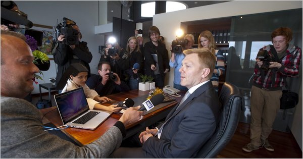
SXSW Panel: Rebooting Iceland – Crowdsourcing Innovation in Uncertain Times
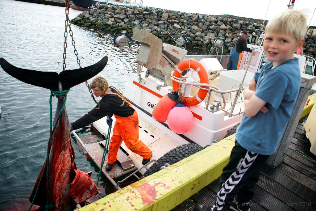
Exploring Grimsey, Iceland’s Northernmost Rock Island
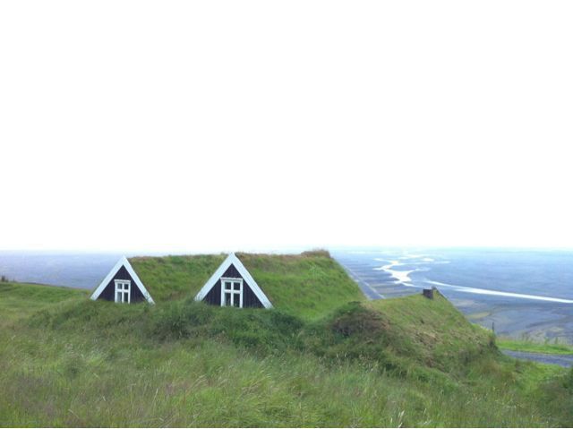
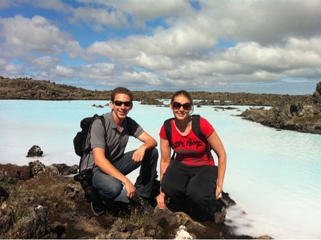
Road Tripping Through Iceland
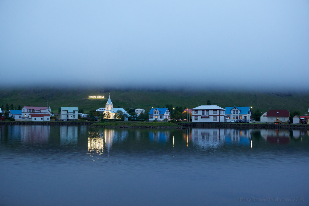
Iceland Day Six – Seydisfjordur to Skaftafell
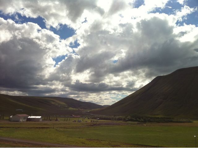
Iceland Day Four – Akureyri to Myvatn
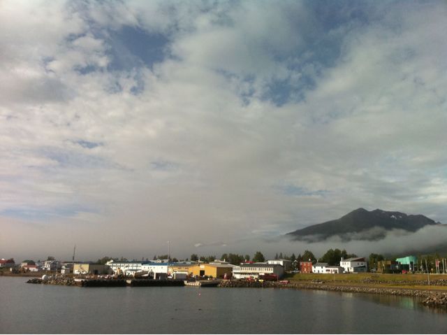
Iceland Day Three – Blönduós To Akureyri
Iceland Day Two – Reykjavik to Blonduos
Road Tripping Around Iceland